For each one you see how long it takes, how much it climbs, where there is a spring and where the map marks difficult stretches.
The colour shows how long a trail takes
How the time is worked out- 126 up to 3 hours
- 42 3 to 5 hours
- 29 over 5 hours
- 14 sections of long-distance E and O paths
- 79 with a spring on the trail
- 21 refuges
- 91 on race courses
- 9 with difficult or faint stretches As OpenStreetMap marks them. On the other 202 it marks nothing, and that does not mean they are safe.
Central Greece 115 marked trails
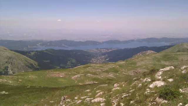 Agrafa
Argithea & Lake Plastira, Karditsa 2,184 m 96 marked trails613 km 2 refuges 50 springs and taps 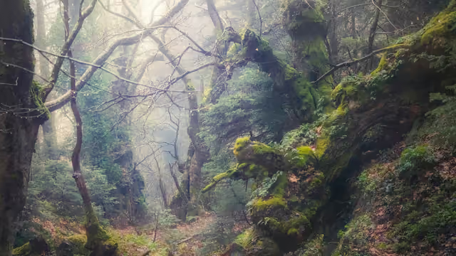 Mount Dirfys
Steni, Evia 1,743 m 11 marked trails64 km 1 refuge 25 springs and taps 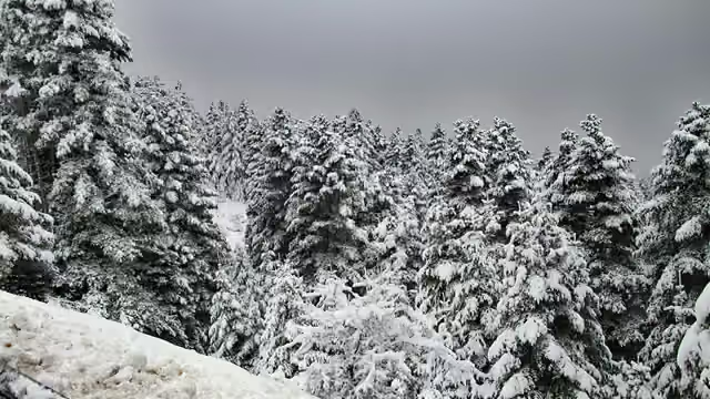 Mount Parnassus
Amfikleia & Arachova 2,457 m 7 marked trails85 km 1 refuge 22 springs and taps 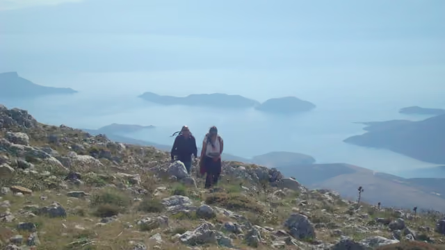 Mount Helicon
Livadeia, Boeotia 1,748 m 1 marked trail13 km 2 springs and taps
Northern Greece 44 marked trails
Attica 39 marked trails
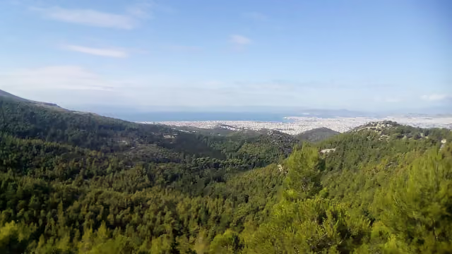 Mount Hymettus
East Athens 1,026 m 26 marked trails71 km 1 refuge 25 springs and taps 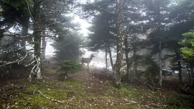 Mount Parnitha
North Attica 1,413 m 13 marked trails128 km 2 refuges 34 springs and taps - Mount Penteli
Northeast Attica 1,109 mIts trails aren’t on the map yet. See what to know about the mountain. 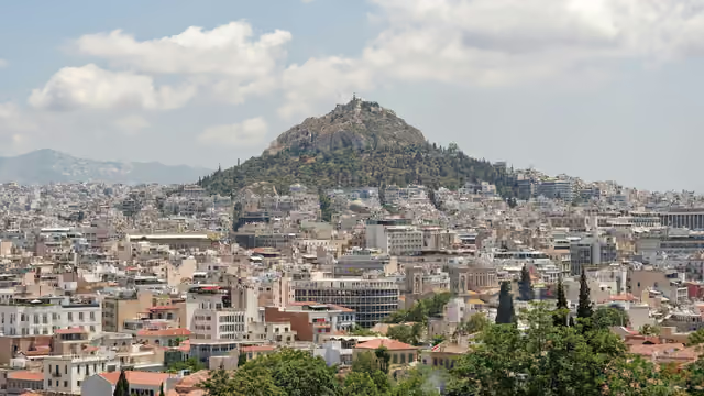 Lycabettus Hill
Central Athens 277 mIts trails aren’t on the map yet. See what to know about the mountain.
Peloponnese 13 marked trails
Trails from OpenStreetMap, © OpenStreetMap contributors, ODbL. · Updated 13 October 2026