All mountainsFrom OpenStreetMap
Northern Greece
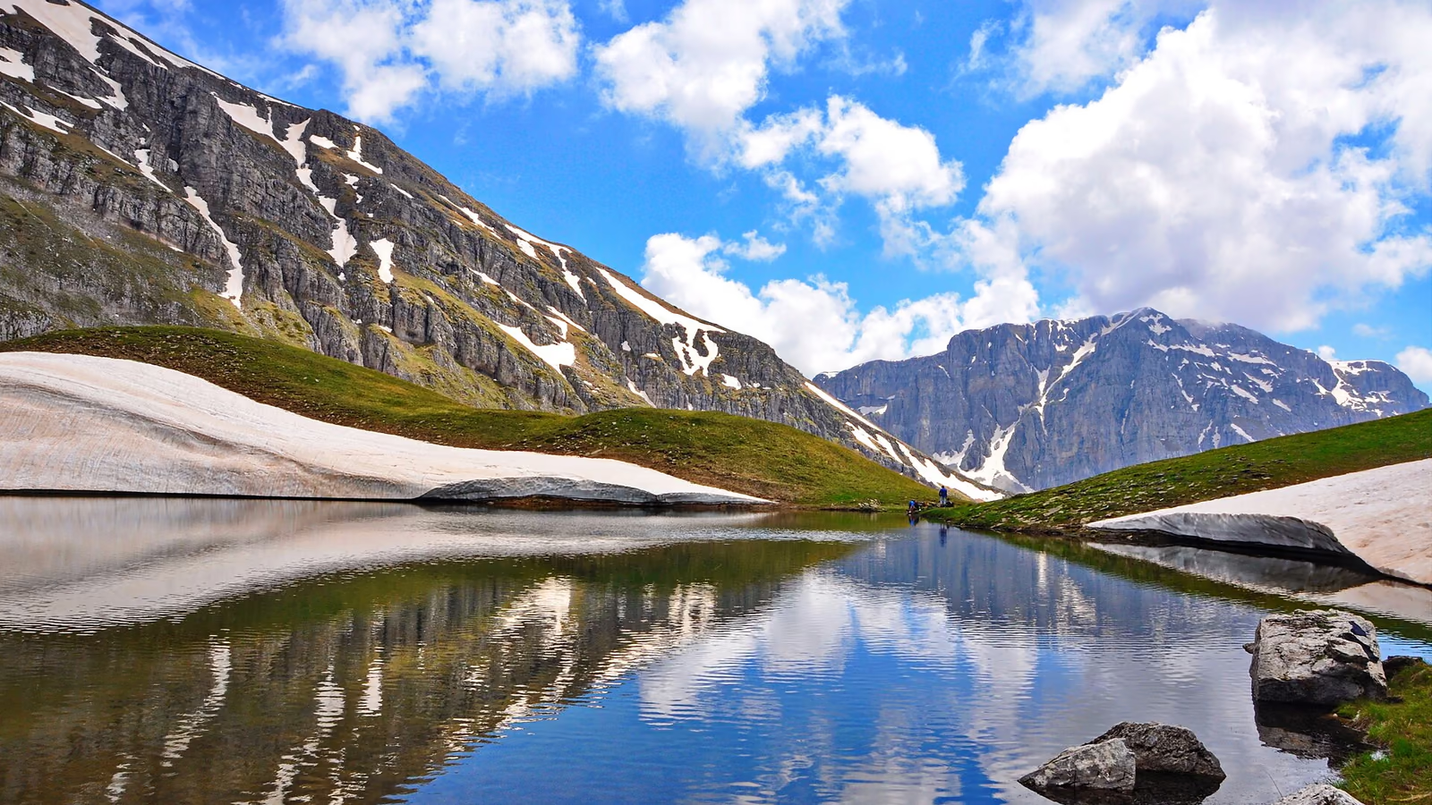
Tymfi & Zagori
Cobbled mule paths between the villages, and alpine ground above 2,000 m.
- marked trails
33 - km of trails
- 216
- refuges
2 - springs and taps
47 - on race courses
20
Trails
Shows the trail on the map first. Its card has a button to open the trail's page.
Trails and points from OpenStreetMap, © OpenStreetMap contributors, ODbL. We haven’t checked them on the ground: ask in the village or at the refuge how they are today. · updated 13 October 2026