East Macedonia & Thrace
Kavala Trail Run
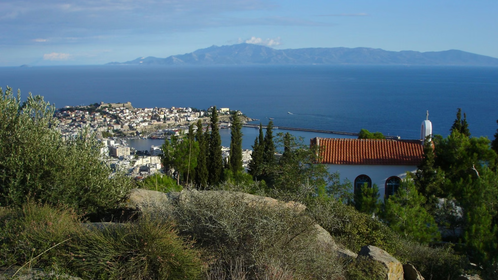
A mountain race that starts ten minutes above a harbour. The 27 km climbs from Chorafa into the pine hills behind Kavala: up to the club hut at Fountoukli, under the Egnatia's bridge, and along a path with the sea below it to the Mana tou Nerou spring. Then it drops down the old Water Way over three stone bridges and comes back over Stavros, the balcony above the city. It never goes higher than 405 m and still climbs about a thousand metres. The 13 km and the 5.5 km run shorter loops of the same hills.
KTR 27
ITRA 1 ptsDistance - 27 km
Ascent - 1,200 m
Vert / km - 44 m
Time limit - 5 h
Start - Sun 10:15
Course profile
- Grade
- < 8%
- 8–15%
- > 15%
Aid station Technical section