Mount Parnon
Trail 1 · Path 7
- Walking time
≈ 2 h Running it? Set your pace - Distance
- 5.9 km
- Ascent
195 m - Descent
182 m - Highest point
990 m
- Up to 3 h
Water only 70 m off the trail, at km 5.9 Fire season: check tomorrow's risk map - Volunteers recorded the line and the waymarks in OpenStreetMap. We took the data on 13 October 2026. We don't know who looks after the trail today, so ask in the village or at the refuge what state it's in. The route on OpenStreetMap ↗What the sources mean
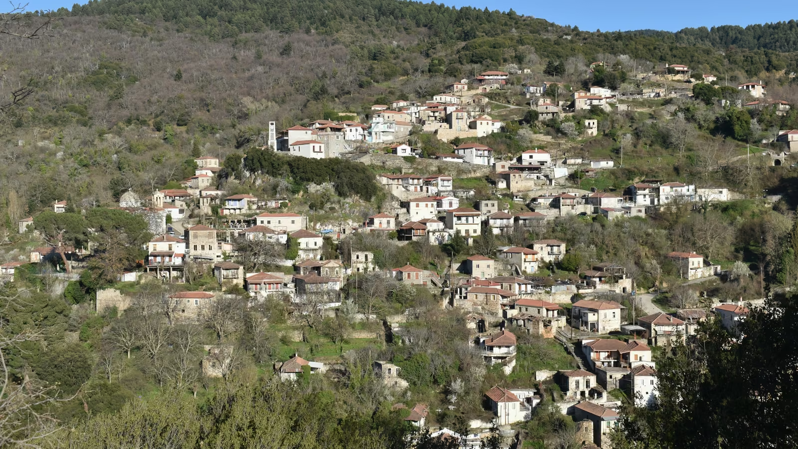
Photo from elsewhere on the mountain
Route
- Slope
- < 8%
- 8–15%
- > 15%
Summit
Along the way
Getting there
The trail starts at 855 m. Nearest village or town: Karies, 0.5 km from the start. 37.28950, 22.50578