Mount Olympus
Trail 11 · E4 long-distance path
- Walking time
≈ 21 h 10 Running it? Set your pace - Distance
- 51 km
- Ascent
2,262 m - Descent
3,601 m - Highest point
2,850 m
- Long-distance
- A mountain path, steep in places. You need steady footing and hiking shoes. All grades
Tap at km 22.6 Fire season: check tomorrow's risk map - Volunteers recorded the line and the waymarks in OpenStreetMap. We took the data on 13 October 2026. We don't know who looks after the trail today, so ask in the village or at the refuge what state it's in. The route on OpenStreetMap ↗What the sources mean
Damaged from km 26.9 to 37.8. The path through the Enipeas gorge, between Litochoro and Prionia, has been damaged since the floods of September 2023: bridges have fallen and the ground has slipped. In June 2026 EOS Thessaloniki said it cannot be walked safely. Ask before you go. Source 1 ↗Source 2 ↗
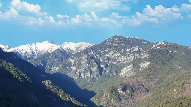
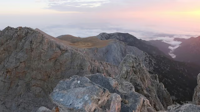
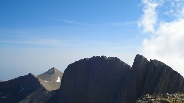
Pagos and Kalogeros above the clouds · on the trail at km 23.4
Route
needs carerace course
- Slope
- < 8%
- 8–15%
- > 15%
Water point Summit
Along the way
Getting there
The trail starts at 1,354 m. Nearest village or town: Κοκκινοπηλός, 2.4 km from the start. 40.10995, 22.23021
Pagos and Kalogeros above the clouds · on the trail at km 23.4
A waterfall in the Enipeas gorge · on the trail at km 28.2
Looking out to the Aegean · on the trail at km 36.4
Steps on the gorge path · on the trail at km 28.2
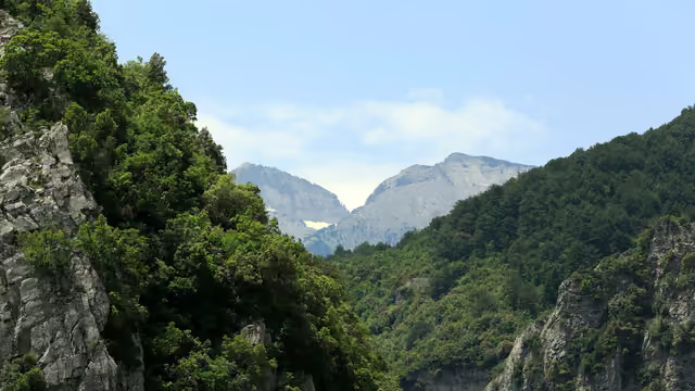
Pine slopes under the high peaks · on the trail at km 22.5
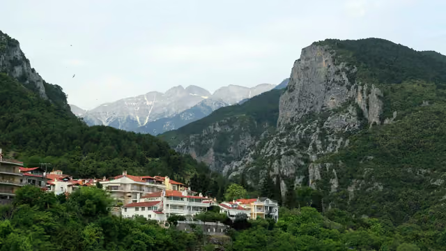
Forest and cliffs on the way up · on the trail at km 28.3
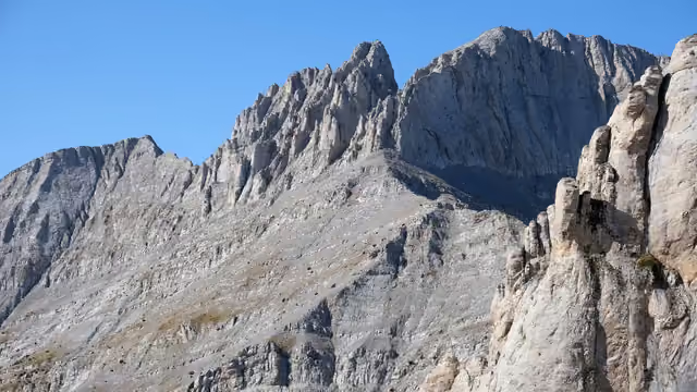
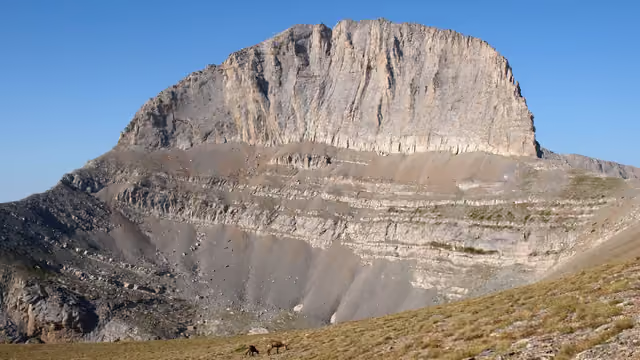
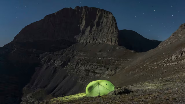
The east face of Olympus · on the trail at km 22.3
A pool in the gorge · on the trail at km 32.2
The Spilios Agapitos refuge (Refuge A) · 40 m from the trail, near km 22.7
A Balkan chamois grazing at 2,700 m · 50 m from the trail, near km 20.2
The cave of Saint Dionysios · 60 m from the trail, near km 31.5
A waterfall pool · 60 m from the trail, near km 30.2
The old Monastery of Saint Dionysios · 70 m from the trail, near km 30.8
From Wikimedia Commons, taken within 150 m of the trail and picked one by one. Tap a photo for the photographer and licence.
Expect runners on race mornings. The km are counted on each race's course.
- Winter Enipeas 25K · km 11–16, 16–17 of the course
- Rogkas 43K · km 16–22 of the course
Olympus Marathon
Dion → Litochoro, Mt Olympus 71 km · 5,550 m D+ 44 km · 3,350 m D+ 4.25 km · 1,024 m D+ 14 km · 800 m D+ 5 km · 180 m D+ - Olympus Ultra 71K · km 47–50, 50–58, 59–62, 69–70 of the course
- Olympus Marathon 44K · km 23–30, 30–33 of the course
- OMT 104K · km 26–28, 83–90 of the course
- Faethon SkyRace 23K · km 1–7, 19–21 of the course
- Faethon Trail 14K · km 11–14 of the course
- ALOU Alpine Olympus Ultra 65K · km 24–31, 35–41, 40–50 of the course
Olympus Mountaineering Marathon
Stavros refuge, Mt Olympus 41.91 km · 2,974 m D+ 15 km · 1,000 m D+ 5 km - Mountaineering Marathon 42K · km 15–20 of the course
- Lost Trail 57K · km 7–9, 29–32 of the course