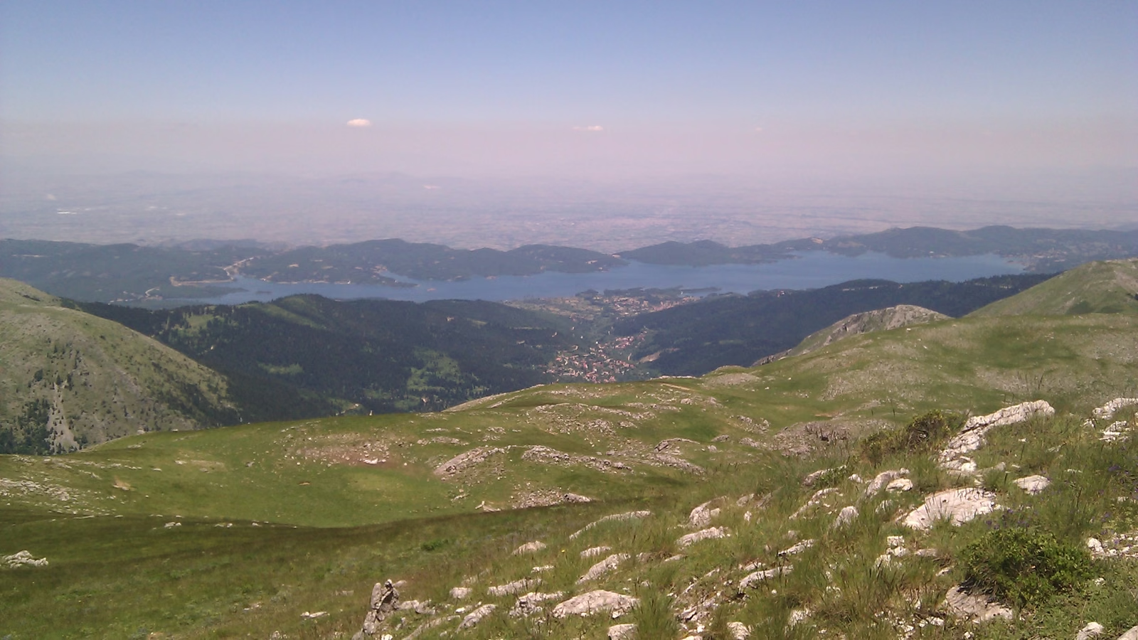
Agrafa
Trail 93 · Path B34
- Walking time
≈ 20 min Running it? Set your pace - Distance
- 1.4 km
- Ascent
18 m - Descent
0 m - Highest point
813 m
- Up to 3 h
Carry all your water Fire season: check tomorrow's risk map - Marked and maintained by EOS Karditsa, according to its own page, which we read on 20 October 2026. In 2016 the club wrote that it was building the Karditsa Agrafa network. We don’t know when the marks on this trail were last renewed. Their page ↗What the sources mean
Photo from elsewhere on the mountain
Route
- Slope
- < 8%
- 8–15%
- > 15%
Along the way
Getting there
The trail starts at 798 m. 39.30949, 21.77732