Trails on Agrafa

Agrafa

Trail 29 · Elatos

Starts at BelokomitisOne way

Walking time
≈ 8 h Running it? Set your pace
Distance
13.2 km
Ascent
1,289 m
Descent
1,011 m
Highest point
1,970 m
Directions to the start

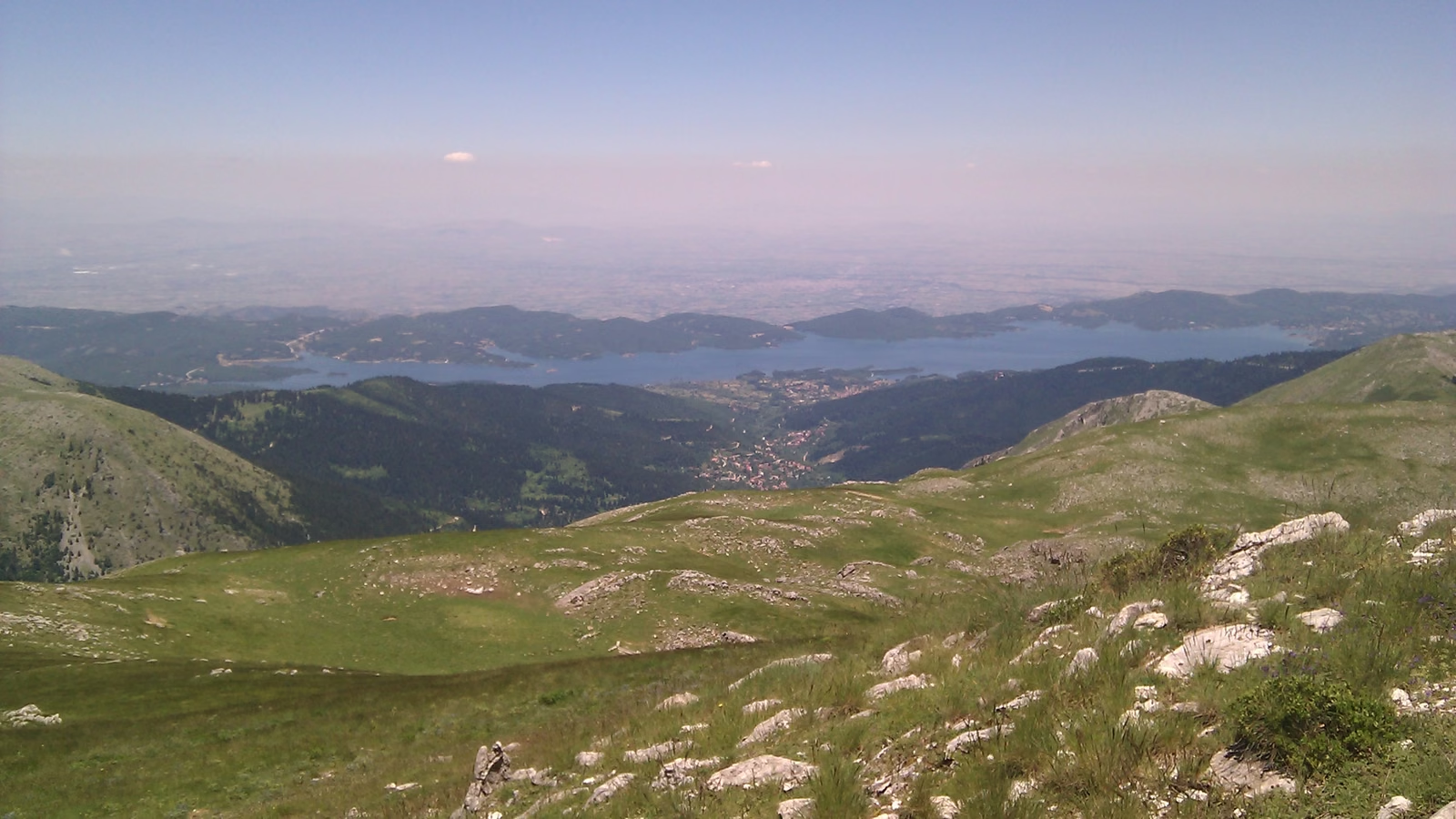
Photo from elsewhere on the mountain

Photo: Christospappis / CC BY-SA 4.0

Route

800 1,000 1,200 1,400 1,600 1,800 2,000 0 2 4 6 8 10 12 km
  • Slope
  • < 8%
  • 8–15%
  • > 15%
  • Water point
  • Summit
Hover over the profile, or press Tab and use the arrow keys.Tap or drag along the profile to read any point.

Along the way

  1. 46
  2. 54
  3. 65
  4. 88
  5. 94
  6. 69
  7. 86
  8. 50

Getting there

The trail starts at 923 m. 39.25558, 21.73371

Directions to the start

Something wrong, like a closed stretch or a missing spring? Leave a note on OpenStreetMap and the volunteers who map it will see it. This trail on OpenStreetMap ↗ · Leave a note ↗

Trails and points from OpenStreetMap, © OpenStreetMap contributors, ODbL. We haven’t checked them on the ground: ask in the village or at the refuge how they are today. · updated 13 October 2026