Central Greece
Goulinas Trail
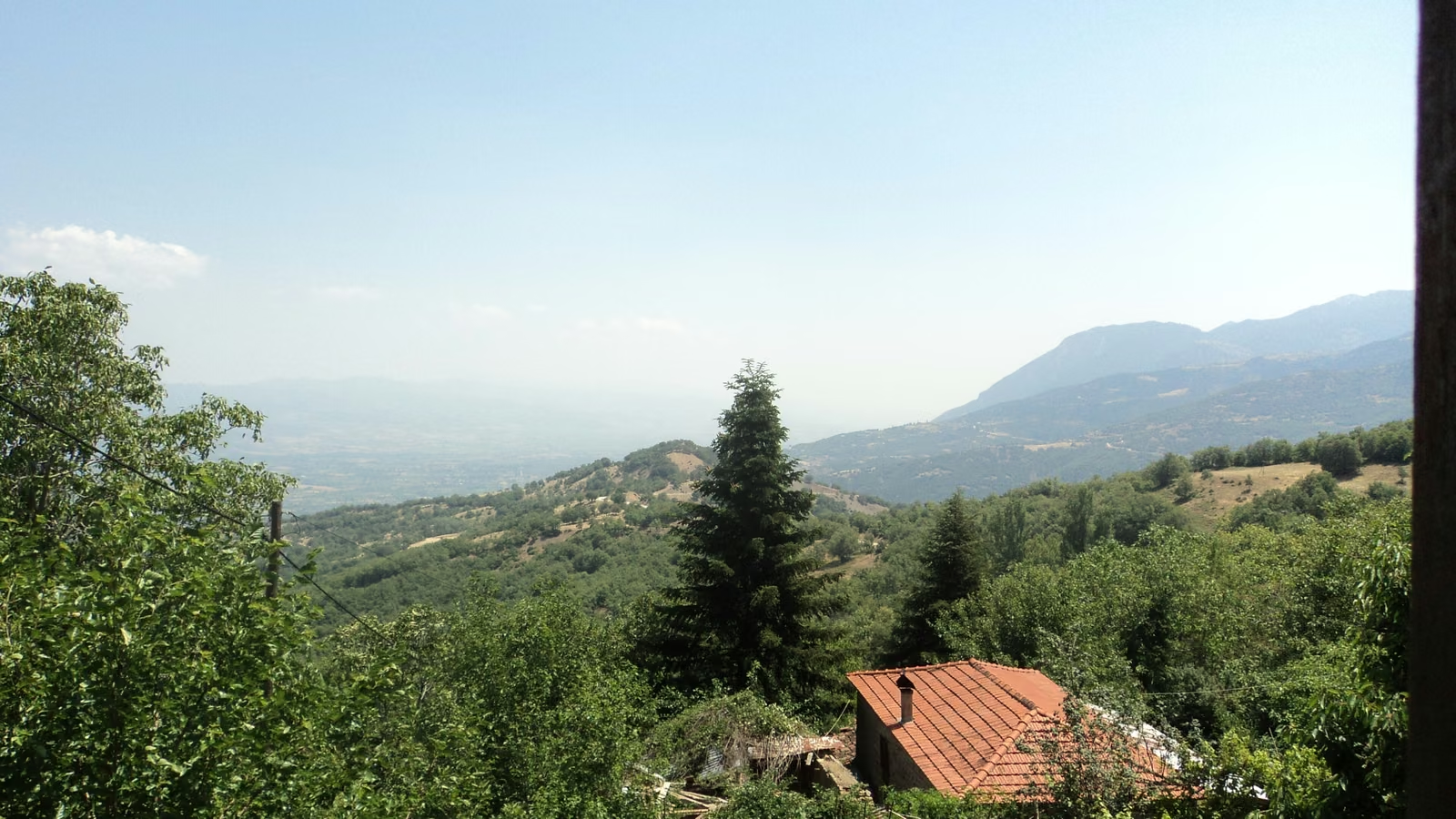
Goulinas is the mountain above Sperchiada, between Oiti and Oxya. The 30 km starts on the town square and climbs through oak and then tall firs to the top, at 1,467 m. From the fire lookout you see Agrafa, Velouchi, the Vardousia, Giona, Parnassos and Oiti, and Olympus on a clear day. Almost all of it is soft forest trail. The 12 km takes the first big climb and comes down past Panagia Gorgiani, and the 6 km is an entry race above the town.
Checked on 26 Oct 2026, but not every section yet. Confirm details with the organiser before relying on them
Goulinas Trail 30
ITRA 1 ptsDistance - 30 km
Ascent - 2,000 m
Vert / km - 67 m
Time limit - 7 h
Start - Sun 08:30
Course profile
- Slope
- < 8%
- 8–15%
- > 15%
Water point Aid station Technical section Cutoff